Preventing illegal building with artificial intelligence
Drones, are no longer a surprise to passersby in the city center. Researchers from Kaunas University of Technology and used UAV technology to detect cracks or other damages and changes in building facades against the backdrop of a crowded city.
The emergence of digitized cities as well as digital twins, which enable observation of building changes on both an external and internal level, has created new opportunities for the collection of such data. In typical European metropolises, outdoor image processing is difficult due to various obstructions that affect perspectives, such as wires, overhangs, poles, and other parts of the building, as well as dynamically changing weather conditions.
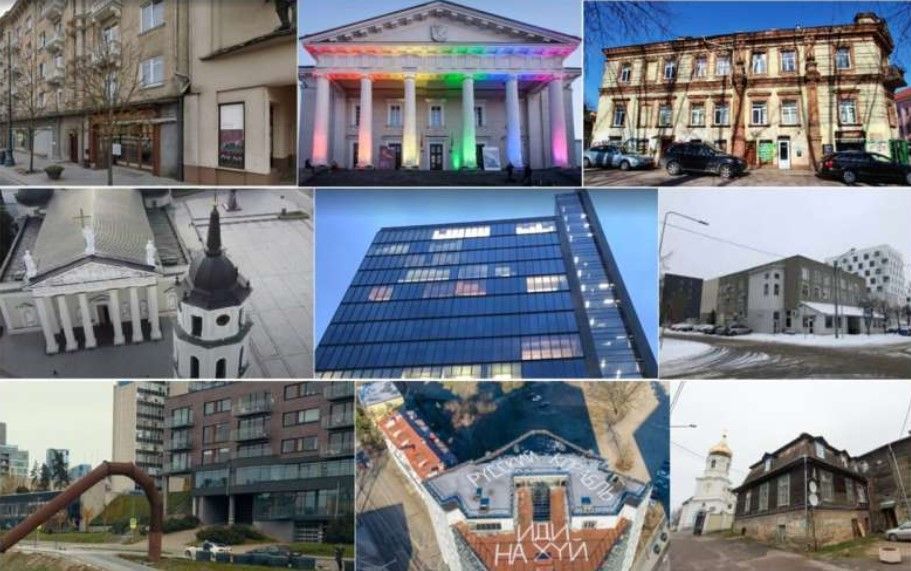
Rytis Maskelinas from the Kaunas University of Technology (KTU), Department of Multimedia Engineering, led a group of researchers to study the façades of buildings in Vilnius Old Town and the surrounding areas.
"Architecturally speaking, Vilnius is awesome. There are Gothic church spires in the city's old town and state-of-the-art glass structures in the city's Old Town. The professor said that's why they wanted to investigate how algorithms could work across such a wide range of styles in the department of electronic systems at Vilnius Gediminas Technical University.
Getting such a challenge off the ground requires the use of smart signal processing based on artificial intelligence.

Building condition assessment by drone
"The facade is the face of a building, the one that lets it get classified into one or another style or category. Let us imagine if an old building in the Old Town got glazed or redecorated in an avant-garde way. Possibly illegal construction or urban blight would be detected by a drone flying by," says Darius Plonis, professor at Vilnius Gediminas Technical University's Department of Electronic Systems.
In the process of photographing building facades, the drone sends the data wirelessly to a platform that can determine what class a building belongs to.
Maskeliūnas believes drone photos can be used for assessing building technical condition too: "Water penetration through seams, cracks in the decor or structure, discoloration of facade elements, maybe even dents in the surface—all these determine the classification of a building and could possibly be automated."
In addition to analyzing the parts monitored by the drone independently of the façade as a whole, the researcher at Kaunas University of Technology says you can compare changes, both visually and based on the building's design documentation, construction materials, and how bad the damage is.
Overcrowding in a city is a challenge
Using façade taxonomy, the researchers aim to detect the boundaries of a building's façade in response to changing weather conditions and light conditions. Depending on the building's façade, natural conditions, and urban context, the complexity of the task may vary.
For the algorithm, it is difficult to extract useful information from a congested city, as buildings in city centers and old towns are often obscured by wires, trees and even festive decorations and advertisements. This makes it very difficult to extract useful information. However, the researchers note that the UAV can obtain an extremely detailed, high-quality image of the façade from all directions.
Before, researchers had only been able to identify buildings with a simple façade structure using rudimentary mathematical models. Furthermore, the buildings had to be distinguished stylistically from one another, i.e. they were not to share a common wall.
According to Maskeliūnas, there are a number of difficulties associated with identifying buildings that have similar façade structures.
Distance and environmental factors make it difficult to distinguish the contours of façade elements, and false contours can be caused by shadows or reflections, as well as camera angle and lens distortion. This study utilized artificial intelligence-based signal processing solutions based on artificial intelligence, stating that simply extracting the correct shape does not guarantee successful classification.
Drone images of the urban landscape can also be used for the identification of defects in historic buildings and urban heritage sites or for the planning of urban development.
Considering that it is difficult to view the top of high-rise buildings from the ground, this technology is very promising for monitoring high-rise buildings and apartment blocks, the researchers state.
Src: Kaunas University of Technology
Comments ()