Mobile Annotation Apps for Field Data Collection
Today, artificial intelligence is fueled not by studio or laboratory data but by reality. To train high-precision models, whether for autonomous vehicles or agricultural monitoring systems, field data is required. That is, information is collected in an unpredictable and dynamic world. This is where the question arises: How to transform raw data captured in the field into structured, labeled, and contextually rich datasets ready for AI?
Remote work demands tools capable of adapting to changing priorities. Complex drawings, inspection reports, and regulatory forms require precise annotation features that function without a stable internet connection. Teams reviewing engineering schematics must have instant access to change history and shared annotations, eliminating the need for endless correspondence and shortening project implementation time.
Quick Take
- To train high-precision AI, data collected directly in unpredictable field conditions is required.
- Traditional methods lead to the loss of information: accurate time, GPS, and shooting angle.
- Special mobile applications turn an ordinary smartphone into a professional multifunctional sensor device for data collection.
- The mobile application allows you to perform initial marking "on the go", instantly recording automatic metadata (GPS coordinates, gyroscope data, time) along with the image.
- Mobile applications are able to store all marked data locally on the device, and then securely synchronize it when a stable Internet connection appears.
The Problem with Traditional Data Collection Methods
The development of Artificial Intelligence is highly dependent on information collected directly in real-world conditions, such as construction sites, agricultural fields, inspection routes, or hospital rooms. However, there is still a problem in converting these real observations into high-quality, AI-ready training data.
Ineffectiveness of Traditional Methods
Traditional data collection, such as photos taken with handheld cameras, notes on paper, and reporting, is currently inefficient for several reasons:
- Loss of Context. Data collection in the field and its subsequent labeling in the office are separated by time and space. When an annotator sees a photo of a crack on a bridge a week later, they do not know the exact temperature, lighting, or the angle at which it was taken. This loss of critical context reduces the quality of AI training.
- Low Metadata Accuracy. Paper or manual records cannot automatically capture accurate GPS coordinates, gyroscope data, or the time of capture, which are essential for geospatial models.
- Long Pipeline. The transfer of data from a camera to a computer, then to a labeling system, and then to a specialist. This is a slow, multi-step process that lengthens the development cycle.
The Mobile App as a Bridge
The solution to similar problems lies in using mobile apps for annotation, which transform an ordinary smartphone into a professional device for data collection and labeling.
The mobile app acts as a bridge, allowing primary labeling on the go. This means the user can perform smartphone annotation or portable annotation immediately at the point of capture. The smartphone is used as a multifunctional sensor device for mobile data capture, recording not only the image but also the accurate, automatic metadata necessary for creating high-quality datasets.
The Value of Mobile Annotation
The core idea behind using specialized mobile annotation apps lies in a paradigm shift. Field data collection transforms from a simple information-gathering process into one of semantic data enrichment.
Mobile annotation is not just using a smartphone as a camera. It is a process that integrates data collection and its primary labeling directly at the point of capture. The operator instantly marks objects as soon as they come into view.
The main value of this methodology lies in capturing the intact context. Mobile data capture instantly records all necessary metadata automatically, without relying on the operator's memory:
- GPS coordinates and altitude;
- Exact time and date of collection;
- Device orientation, tilt angle, direction;
- Data from surrounding sensors.
Diversity of Portable Data
The operator in the field has a complete understanding of the situation. By applying primary labeling at the moment of capture, they transfer this contextual intuition to the dataset.
Thus, smartphone annotation allows for the collection of diverse field data using built-in and external sensors:
How to Ensure Field Data Quality?
For AI that relies on field data collection, low annotation quality can be worse than no data at all. Ensuring the quality of on-the-go labeling is a complex process that requires a systematic approach, combining clear instructions, technological verification, and staff motivation.
To transform smartphone annotation into a reliable data source, several common mechanisms are used:
- Detailed Instructions and Labeling Standards. Every operator using a mobile annotation app must have a clear, visually supported guide. It defines exactly how each object should be marked, which objects to ignore, and the quality standards for mobile data capture.
- Peer Review / Double Annotation. Contested or complex data is labeled by two or more independent operators. If their annotations do not match, the task is sent to an expert for arbitration.
- AI-Assisted Validation. Utilizing pre-trained or simple algorithms embedded in mobile apps for preliminary verification of annotations. If an operator labels an object as a "bicycle," but the AI validator detects that the bounding box shape does not correspond to the average aspect ratio for bicycles, the system immediately issues a warning about a probable error.
- Reputation Systems. Implementing a rating system where annotation quality influences the operator's reputation score. Highly-rated operators may receive bonuses, access to more complex tasks, or a higher hourly rate. This creates a constant incentive to maintain high accuracy and speed in on-the-go labeling.
Mobile Annotation Toolset
The effectiveness of mobile annotation apps is ensured not only by the ability to work in the field but also by a set of built-in tools that transform the smartphone into a high-precision device for portable annotation and mobile data capture.
Collection and Capture Tools
These functions ensure automatic, contextually enriched capture of field data:
- Automatic Sensor Data Fixation. The app uses the phone's built-in sensors to automatically record critical metadata at the moment of capture. This includes precise GPS coordinates, time, and gyroscope data, which is indispensable for training spatial perception models.
- "Continuous Capture" Mode. This function allows the operator to quickly shoot video or a series of images and immediately proceed to on-the-go labeling. This is ideal for capturing dynamic scenes or collecting large volumes of data on the go.
- External Sensor Support. Advanced mobile apps can integrate via Bluetooth or other interfaces with additional equipment, significantly expanding the capabilities of smartphone annotation beyond a simple camera.
Primary Annotation Tools
These tools allow the field worker to quickly apply a semantic layer at the point of capture.
- Geometric Labeling. Basic tools are available for rapid object identification:
- Bounding Boxes. Quick outlining of an object with a rectangle.
- Polygon. Accurate labeling of irregularly shaped objects, providing the high detail required for mobile annotation.
- Classification and Tagging. Instead of manual text entry, operators use pre-configured dropdown menus and lists. This is used to minimize spelling errors and ensure standardization of labels.
- Voice Notes. Some applications allow the operator to quickly add context that is difficult to describe with only tags. Such audio notes are automatically linked to a specific image or annotation area.
Offline Mode and Synchronization
Fieldwork is often conducted in remote areas, underground, or in zones where the internet is unavailable.
Mobile annotation apps store all collected data and annotations locally on the device. As soon as a reliable connection is restored, the data is automatically and securely synchronized with the central cloud storage.
Typical Workflow
The implementation of mobile annotation apps creates a highly efficient, continuous cycle of AI model data collection and training. This looks like a closed data loop, which ensures that data collected in real-world conditions is quickly converted into intelligent updates for the system.
Here is how a typical workflow connecting the field worker with the training model looks:
Mobile Annotation in Action
The success of AI now depends on the quality of field data collection and the integration of data from real, unpredictable environments. They create the greatest value by providing on-the-go labeling for training models with unique, context-dependent data.
Mobile annotation apps have transformed field data collection, allowing the conversion of routine field observations into high-value, labeled datasets for AI. Due to their increasing implementation, there are already many examples of application usage in various industries.
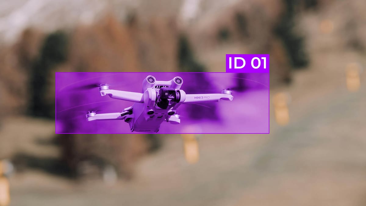
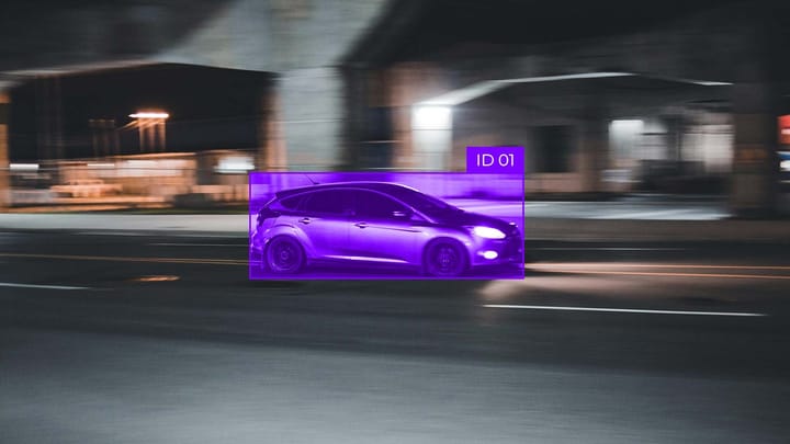
Autonomous Vehicles
In this industry, mobile apps are used to overcome the "corner case" problem. Simulations can reproduce millions of miles of driving, but real rare or atypical events must be collected by humans.
Field teams use portable annotation for quick labeling of videos or images of dangerous situations, adding tags for lighting, visibility, and the behavior of other road users. Mobile data capture automatically records GPS and speed for accurate scenario reproduction.
Infrastructure Inspection and Maintenance
Inspectors use smartphone annotation to mark specific defects on bridges, pipelines, railway tracks, or power lines. Thanks to mobile annotation, they can use polygons or bounding boxes to accurately indicate the size and type of damage, and GPS fixation allows models to accurately determine the defect's location.
The collected immersive data trains AI systems that can automatically detect and classify damage based on future aerial or photographic surveys. Thus, portable annotation simplifies the assurance of safety and longevity of critical infrastructure.
Agrotech
Accurate training of crop monitoring models for early threat detection allows farmers to minimize losses. In AgriTech, mobile annotation is critical for crop health.
Agronomists in the field use mobile apps to photograph and label plant diseases, pests, or maturity levels. They can quickly classify the type of damage using dropdown menus, and the camera automatically records the geographical location, allowing the AI to create accurate maps of disease spread.
As an example of such apps, Plantix can be cited. The user performs on-the-go labeling, marking the type of disease, the degree of infection, and GPS coordinates. This data directly feeds into the training of agri-diagnostic models, which can then automatically identify threats at the field scale.
Environmental Monitoring
Smartphone annotation has also become a tool for citizen science and environmental research. The user uploads a photograph of a rare plant or animal, adding tags and GPS coordinates. This creates global, continuously updated ecological databases for training computer vision models, which help track climate change and migration processes.
Today, the smartphone is the most powerful, most widespread sensor device on the planet. Modern models are equipped with high-precision GPS, gyroscopes, barometers, and LiDAR scanners. Thus, mobile annotation apps fully utilize this arsenal, transforming the device into a tool for mobile data capture. This way, every photo or video taken in the field is not just saved as a file but is automatically enriched with a layer of accurate, machine-readable metadata to serve as the foundation for high-quality AI training.
FAQ
What is the main inefficiency of traditional field data collection methods?
The main problem is the loss of context. When a photo is marked up later in the office, the annotator does not know the exact conditions (temperature, lighting, angle) in which the photo was taken. This reduces the quality of AI training.
How do mobile apps capture "intact context"?
Mobile apps turn a smartphone into a sensor device. They automatically record all the necessary metadata without the operator's participation: precise GPS coordinates, date and time of collection, device tilt angle, and other sensor data.
What mechanisms are used to control the quality of markup made "on the fly"?
Three main mechanisms are used:
- Peer Review. Complex tasks are checked by two or more operators.
- AI Assisted Validation. Simple algorithms pre-check the markup. For example, does the object's frame match its shape.
- Reputation Systems. The quality of an operator’s performance affects their rating and access to new tasks, which incentivizes high accuracy.
Why do autonomous vehicles use field annotation?
In the autonomous vehicle space, mobile applications are used to overcome the “corner case” problem. Field teams quickly mark up videos or images of dangerous or unusual events that are difficult to reproduce in simulation.

Comments ()