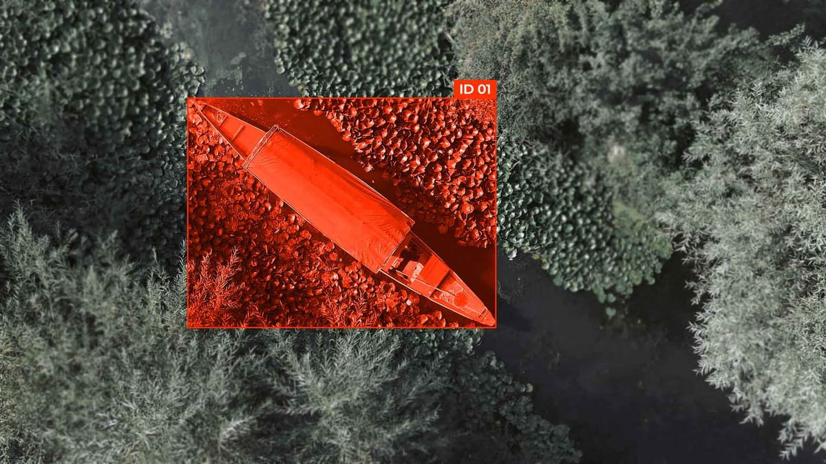
Bird's Eye View (BEV) Annotation: Converting Camera to Top-Down Representation
In modern computer vision and autonomous vehicle control systems, accurate object recognition and localization are particularly important. Traditional cameras provide perspective images that limit the view and distort spatial relationships between objects. To overcome these limitations, the Bird’s Eye View (BEV) Annotation approach is used - converting the camera image into a top-down (plan) view of the scene. Such a representation enables you to obtain more visual and accurate information about the locations of cars, pedestrians, road signs, and other objects in the real world.
BEV annotation is a key stage in the creation of autonomous control systems, driver assistance systems (ADAS), and robotics, as it provides a single coordinate plane for objects, facilitates route planning, and collision avoidance.
Key Takeaways
- Top-down representation clarifies spatial relationships for better perception.
- Projective transforms and homography map camera imagery to an overhead view.
- Preserving features and information during warping is critical.
- Combines classical geometry and learning for flexible implementation.
- Essential for applications in driving, surveillance, and augmented reality.
Why Bird’s Eye View Matters Now for Computer Vision and Autonomous Driving
The rapid development of autonomous transport and intelligent environmental perception systems has underscored the need for a more structured, geometrically consistent representation of the scene. That is why BEV representation is gaining particular importance in fields such as computer vision and autonomous driving. Unlike the traditional perspective projection, which distorts distances and scales based on the depth of the scene, a top-down view provides a metrically stable representation of space.
In autonomous driving tasks, it is important to accurately estimate distances between objects, their orientations, and their movement trajectories. Perspective representation complicates these processes by changing the scale of objects depending on their location relative to the camera. In contrast, a BEV representation allows you to view the scene in a single plane, where all objects are projected into a common coordinate system, free of perspective distortions.
The key technical element of the transition from a camera image to a top-down view is coordinate transformation. It provides a transition from the image pixel coordinates to the real-world spatial coordinates. This process takes into account the camera's parameters, as well as its position and orientation relative to the road.
Projection Models and Perspective Geometry
Camera Calibration Essentials for Accurate BEV Generation
For the camera image transformation into a top-down view to be accurate, the camera calibration stage is critical. The camera itself provides the image through a perspective projection, which distorts the real distances and proportions of objects in the scene. Without proper calibration, any attempt to create a BEV representation will result in inaccuracies in object positioning and in the display of motion trajectories. The main components of calibration include:
- Determination of internal camera parameters, such as focal length, principal point, and distortion coefficients, which affect the perspective projection.
- Determination of external camera parameters (position and orientation relative to the scene), which ensures the correct coordinate transformation in the top-down view.
- Use of calibration templates or sensor data to accurately estimate deviations and correct distortions.
Correct camera calibration is the foundation for building a reliable BEV representation, as it ensures consistency between image pixels and real coordinates on the Earth's surface. This allows autonomous systems to accurately determine the position of vehicles, pedestrians, and other objects in space.
Core Pipeline: Step-by-Step Conversion from Image to BEV Representation
Multi‑Camera Fusion for 360 Surround BEV
To fully view the autonomous vehicle’s environment, it is necessary to integrate data from multiple cameras covering all directions.
Each camera provides an image through a perspective projection, which distorts the scene's geometry. To create a single top-down view, it is necessary to perform an accurate coordinate transformation for each frame and combine them into a common plane. The main stages of this process are:
- Calibration of all cameras – determining internal and external parameters to ensure consistency between frames.
- Application of IPM or homography – transforming each perspective image into a top-down view.
- Coordinate alignment – aligning the scales, positions, and orientations of all cameras in a common coordinate system.
- Image fusion – forming a coherent BEV representation covering 360 degrees around the vehicle.
- Post-processing – smoothing transitions between cameras, filtering noise, and optimizing for motion planning algorithms.
360 surround BEV significantly improves the accuracy of object detection, trajectory prediction, and safe movement planning by eliminating “blind spots” and providing a complete top-down view of the scene.
BEV for Perception: Object Detection, Semantic Segmentation, and Mapping
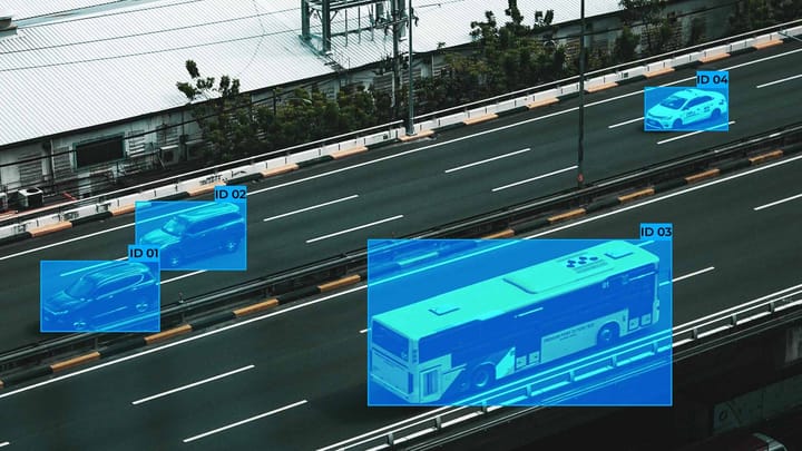
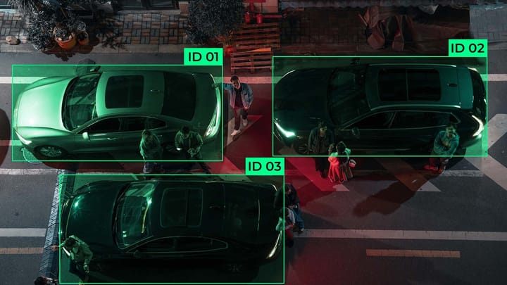
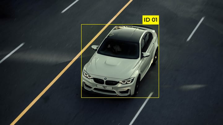
- Object detection – detection of vehicles, pedestrians, cyclists, and other objects in a top-down view. BEV allows algorithms to accurately estimate the position, orientation, and dimensions of objects, which is especially important for predicting their movement and avoiding collisions.
- Semantic segmentation – classification of each point of the scene by categories (road, sidewalk, traffic lanes, obstacles) in the BEV representation. The top-down view facilitates the analysis of spatial relationships between objects and elements of road infrastructure.
- Mapping and scene understanding – construction of detailed maps of the road environment in a top-down view, which includes the localization of objects and their moving trajectories. Coordinate transformation provides integration of data from multiple cameras and sensors for accurate scene modeling.
CNN-Based Approaches to BEV Representations
Polar vs Cartesian in BEV: Bridging Perspective Rays and Top-Down Grids
When transforming a camera image into a top-down view, it is important to choose an appropriate coordinate system for the BEV representation. The two main systems, Cartesian and Polar, have different advantages and limitations in computer vision and autonomous driving tasks.
Cartesian grid:
- The scene is divided into a rectangular grid, with each cell corresponding to a specific area on the ground.
- Simple integration of data from multiple cameras and sensors, easy calculation of distances and object trajectories.
- Used for most top-down view algorithms, including object detection and semantic segmentation.
Polar grid:
- The scene is represented as radial rays from the camera, with coordinates determined by angle and distance.
- Naturally consistent with camera rays and helps to accurately model perspective projection in coordinate transformation.
- Often used to process data from a single sensor or to speed up conversion to BEV without extensive recalibration.
Bridging perspective rays and top-down grids:
- Polar coordinates allow you to directly map camera rays onto a plane and then convert to a Cartesian BEV representation for further processing.
- This approach combines accuracy in perspective mapping with convenience for algorithms that work in a top-down view.
- Used in modern multi-camera fusion models and CNN-based BEV generation for accurate and efficient scene mapping.
Datasets, Benchmarks, and Metrics for BEV Evaluation
Summary
The development of BEV representation has changed the approach to scene perception in computer vision and autonomous control. The transition from perspective imaging to a top-down view not only eliminates the distortions inherent in perspective projection but also establishes a single coordinate basis for accurately determining object positions, predicting their motion, and integrating data from different sensors.
The key factors for success are proper camera calibration and consistent coordinate transformation, which provide a reliable basis for object detection, semantic segmentation, and map construction. At the same time, the choice of coordinate system and the approach to converting perspective rays into a top-down grid affect the accuracy and efficiency of the algorithms.
FAQ
What is BEV representation, and why is it important?
BEV representation converts camera or sensor data into a top-down view, providing a unified spatial perspective. It is crucial for accurate object localization, trajectory prediction, and autonomous navigation.
How does perspective projection affect BEV generation?
Perspective projection introduces scale and distortion variations that depend on the object's distance from the camera. BEV generation compensates for this by performing a coordinate transformation to produce a consistent top-down view.
What role does camera calibration play in BEV?
Camera calibration determines intrinsic and extrinsic parameters, ensuring correct coordinate transformation. Without calibration, the resulting top-down view may misalign objects or distort distances.
What is the difference between Cartesian and Polar grids in BEV?
Cartesian grids divide the scene into uniform cells, simplifying distance and trajectory calculations, while Polar grids align with camera rays, preserving perspective information. Both can be combined to achieve an accurate BEV representation.
How do inverse perspective mapping (IPM) and homography help in BEV?
IPM and homography transform perspective images into a top-down view by mapping pixels to real-world coordinates. They are key steps in creating an accurate BEV representation from camera data.
Why is multi-camera fusion important for 360-degree BEV?
Multi-camera fusion integrates multiple perspectives into a single top-down view. This eliminates blind spots and improves scene coverage for detection, segmentation, and mapping.
What are the main perception tasks using BEV?
BEV supports object detection, semantic segmentation, and mapping. The top-down view enables algorithms to understand spatial relationships and accurately predict object motion.
How do CNN-based approaches generate BEV representation?
CNNs can lift perspective images into 3D space and project them onto a top-down plane, or directly produce BEV in end-to-end networks. Multi-view CNNs combine inputs from multiple cameras to produce comprehensive BEV outputs.
What datasets and benchmarks are commonly used for BEV evaluation?
Datasets such as KITTI, nuScenes, and the Waymo Open Dataset provide multi-sensor data, while benchmarks assess detection, segmentation, and trajectory-prediction accuracy in a top-down view. Metrics include mAP, IoU, and ADE/FDE.
What is the main challenge when converting images to BEV?
The challenge is accurately mapping perspective projection into a consistent top-down view. Correct coordinate transformation, sensor fusion, and calibration are essential to maintain spatial accuracy in the BEV representation.
Comments ()